By Ethan Siegel ![]()
NASA JPL
Going up into space is the best way to view the universe, eliminating all the distortionary effects of weather, clouds, temperature variations and the atmosphere’s airflow all in one swoop. It’s also the best way, so long as you’re up at high enough altitudes, to view an entire 50 percent of Earth all at once. And if you place your observatory at just the right location, you can observe the same hemisphere of Earth continuously, tracking the changes and behavior of our atmosphere for many years.
The trick, believe it or not, was worked out by Kepler some 400 years ago! The same scientist who discovered that planets orbit the sun in ellipses also figured out the relationship between how distant an object needs to be from a much more massive one in order to have a certain orbital period. All you need to know is the period and distance of one satellite for any given body, and you can figure out the necessary distance to have any desired period. Luckily for us, planet Earth has a natural satellite—the moon—and just from that information, we can figure out how distant an artificial satellite would need to be to have an orbital period that exactly matches the length of a day and the rotational speed of Earth. For our world, that means an orbital distance of 42,164 km (26,199 miles) from Earth’s center, or 35,786 km (22,236 miles) above mean sea level.
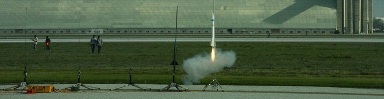
We call that orbit geosynchronous or geostationary, meaning that a satellite at that distance always remains above the exact same location on our world. Other effects—like solar wind, radiation pressure and the moon—require onboard thrusters to maintain the satellite’s precisely desired position above any given point on Earth’s surface. While geostationary satellites have been in use since 1963, it was only in 1974 that the Synchronous Meteorological Satellite (SMS) program began to monitor Earth’s weather with them, growing into the Geostationary Operational Environmental Satellite (GOES) program the next year. For 40 years now, GOES satellites have monitored the Earth’s weather continuously, with a total of 16 satellites having been launched as part of the program. To the delight of NASA (and Ghostbusters) fans everywhere, GOES-R series will launch in 2016, with thrice the spectral information, four times the spatial resolution and five times the coverage speed of its predecessors, with many other improved capabilities. Yet it’s the simplicity of gravity and the geostationary “G” in GOES that gives us the power to observe our hemisphere all at once, continuously, and for as long as we like!
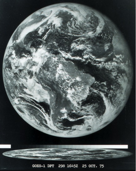
Image credit: National Oceanic and Atmospheric Administration, of the first image ever obtained from a GOES satellite. This image was taken from over 22,000 miles (35,000 km) above the Earth’s surface on October 25, 1975.